services
Doing so we help them increase their productivity and profitability.
Our services
WE PROVIDE
For many years SURVEY GROUNDS is successfully helping Land Surveying Companies for their survey drafting needs. We helped small land surveyors to get more sites surveyed than they usually do by taking care of their entire drafting requirements.

Our team of Civil Engineers and CAD draftsman is experts in understanding ALTA/NSPS 2016 standards and their Table ’A’ requirements for ALTA surveys. We are working as outsourcing partner of many residential/ mortgage survey clients. We assist many clients to define their drafting standards by designing their templates, creating different utility & other symbols and text and dimension standards etc.
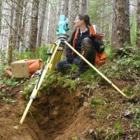
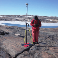
Sometimes referred to as a cadastral survey, a boundary survey documents the actual physical extent of property ownership, typically witnessed by monuments or markers such as iron rods, pipes, or concrete monuments in the ground. Monuments are measured, the boundary is resolved, any missing corners are reset, and a record of the survey map is recorded at the appropriate county surveyor’s office.

The process of establishing and marking the position and detailed layout of new structures such as roads and buildings for subsequent construction. Construction staking data provides horizontal and vertical information necessary for surface drains or pipe flow for most urban, rural and suburban settings.

When preparing a Flood Certificate, the surveyor considers and records several key values in and near the home be certified. These values include the FEMA Flood Hazard Zone for the location, a base flood elevation for the 100 year flood, elevations of crawl space, living space, qualifying foundation venting, deck supports, elevation of service equipment, and elevation of ground both the low and high point near the home.

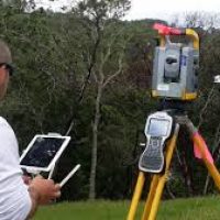
Traditional land survey and hydrographic survey services provide the core of services necessary to accurately, efficiently, and cost-effectively evaluate existing site conditions, aid in project engineering design, and in final construction staking. Both conventional and satellite based techniques are used to provide imagery, survey data, hydrologic data and base mapping for professional-quality final products.

To locate topographic features of land—natural and/or man-made — such as building improvements, fences, elevations, trees, streams, and contours. A topographic survey displays three dimensional features onto a two dimensional grid. This type of survey may be required by a governmental agency or may be used by engineers and/or architects for the design of site improvements or developments.
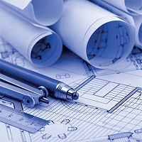
Get high quality CAD drawings with all revisions recorded, tuned and delivered for maximum customization. Our extensive experience in conversions covers all structures, including stadiums, hospitals, pumping stations, oil refineries, manufacturing facilities, water purification plants, and railway tracks/stations. Our experience in CAD (Computer Aided Design) conversion allows engineers, designers.
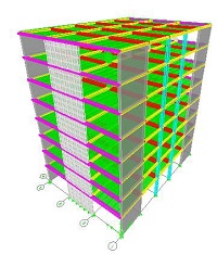
You have a vision for a groundbreaking structure, a skyscraper that defies convention or a bridge that spans miles, connecting communities. With ETABS, your vision seamlessly transitions from imagination to reality. Its intuitive interface puts the power of intricate analysis and design at your fingertips, allowing you to explore, experiment, and refine your ideas with unparalleled ease.
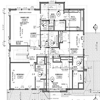
Unlock the power of seamless design with Revit, your ultimate ally in crafting architectural wonders. Revolutionizing the way architects and designers bring their visions to life, Revit isn't just software – it's your trusted companion on the journey to creativity and efficiency. Imagine a tool that understands your every blueprint, your every sketch, and translates them into stunning 3D models with unparalleled precision. With Revit, you're not just designing structures; you're sculpting dreams into reality.
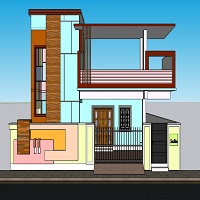
Introducing SketchUp: Your Gateway to Creative Design, Welcome to the world of SketchUp, where creativity knows no bounds and design dreams come to life with just a few clicks. Whether you're an aspiring architect, a seasoned designer, or simply someone with a passion for crafting, SketchUp is your ultimate companion in the realm of digital creation.


